

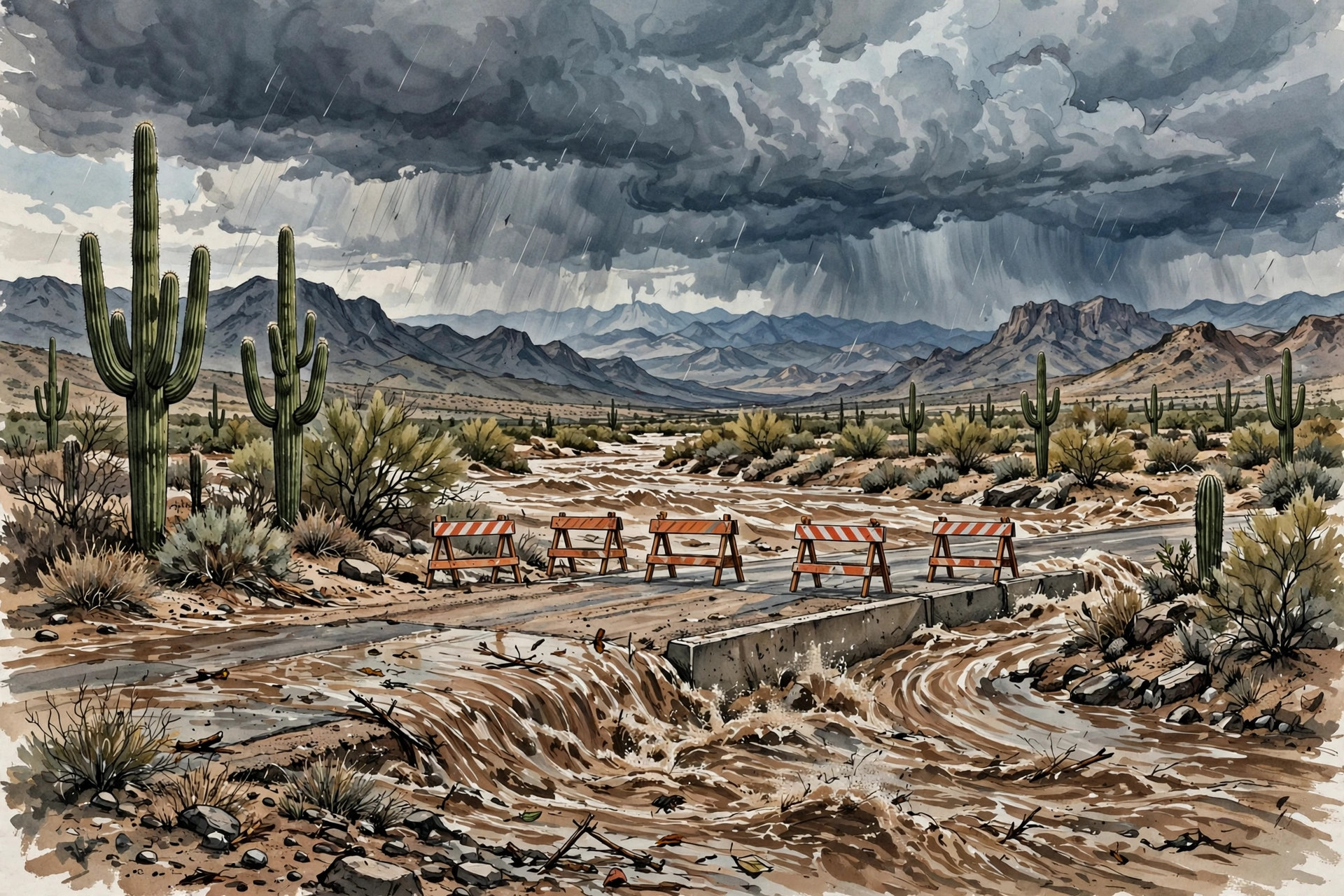
PHOENIX — Arizona is heading into Sunday and Monday with its ground already soaked, its washes already running high, and forecasters warning that the next round of rain could be the most dangerous yet. A moisture-laden storm riding an atmospheric river was expected to drench the state from Halloween night into Monday, bringing widespread flash flooding to a region where Friday’s storms had already stranded drivers, closed roads, knocked out power and forced emergency rescues.
This is a Southwest story, distinct from the separate large storm system that drew attention elsewhere in the country over Halloween weekend. Here, the danger is not a single dramatic downpour in an otherwise dry landscape. It is rain falling on soil that cannot absorb much more, on washes and small streams that are already near capacity, and on desert roads where a shallow-looking sheet of water can hide a washed-out surface or a powerful current.
By Saturday, flood watches stretched from the Grand Canyon to the Mexican border. The National Weather Service office in Flagstaff placed all of northern and central Arizona under a watch from 11 p.m. Saturday through 5 a.m. Monday, warning of flash flooding caused by excessive rainfall over saturated soils and forecasting an additional 1 to 3 inches of rain. Forecasters there did not soften the message. In their Saturday morning discussion, they called it a serious situation and urged residents to stay away from waterways.
Why the Arizona flash flood threat is higher on already wet ground
Desert flooding can surprise people who associate Arizona with dry heat. Much of the danger comes from how quickly water moves when it has nowhere to go. On saturated ground, rain that might normally soak in instead runs off into streets, washes, low-water crossings and small streams. The Weather Prediction Center, a branch of the National Weather Service in College Park, Maryland, put that point bluntly in its outlook for Sunday: all of the forecast rainfall would convert to runoff because soils were already well saturated.
The center issued a Slight Risk of excessive rainfall for parts of central Arizona for Saturday night and a Moderate Risk — level 3 of 4 — for parts of the Four Corners region on Sunday, where Arizona, Colorado, New Mexico and Utah meet. It expected widespread totals of about 3 inches north and east of Phoenix, with localized higher amounts, and it noted that a higher-end Moderate Risk might be needed given the impacts already seen from smaller rainfall amounts in the previous couple of days.
The broader system is fueled, forecasters said, by a subtropical jet stream stretching from near Hawaii to Baja California that is merging with a trough of low pressure moving inland along the West Coast. The Phoenix weather service office said atmospheric moisture would surge above climatological maxima for this time of year on Saturday night into Sunday, consistent with what it called an inland penetrating atmospheric river. The Tucson office described the system as a level 3 atmospheric river on a 1-to-5 scale and said moisture levels could approach or reach records for November. Tucson forecasters wrote that rainfall records for November 1 could fall across much of the area.
In the Phoenix area, forecasters expected 0.75 inch to 1.75 inches of rain, with 2 to 4 inches, and locally more, over the foothills and higher terrain to the north and east. The Phoenix area’s own flood watch, covering the metro area, rural Maricopa County and northwest Pinal County, was expected to bring 1 to 2 inches of additional rain on top of already moist soil. In southeast Arizona, a watch covering Tucson, Nogales, Sierra Vista, Safford and surrounding mountains ran from 11 p.m. Saturday to 5 a.m. Monday. Tucson forecasters put the chance of more than 1 inch of rain there at 84 percent and the chance of more than 2 inches at 35 percent, with wind gusts that could top 40 mph in lines of storms.
Friday’s rescues in Phoenix and Scottsdale showed the danger first
The weekend storm did not arrive without warning. On Friday evening, October 30, thunderstorms flooded streets and washes across the Phoenix area, and the rescues that followed have become the clearest illustration of why officials are urging caution this weekend.
At about 6:30 p.m. Friday, Phoenix firefighters were sent to a reported water rescue near 40th Street and Camelback Road, where crews found six people trapped in four vehicles stuck in a wash. Phoenix Fire Department spokesperson Captain Todd Keller said firefighters used a shallow-water entry technique to reach them. All the drivers and passengers were evaluated at the scene and declined to be taken to a hospital, according to the fire department’s account.
In Scottsdale, a driver went into 3 to 4 feet of fast-moving water in a wash near Hayden Road and McCormick Parkway, and crews rescued one person and helped two others walk out of a second vehicle that followed into the same water. Scottsdale Fire Captain Dave Folio warned that drivers in the area had other options and should not have entered the flooded roadway. He told a local station that water just 2 to 4 inches deep can start sweeping a vehicle away, and added: “If you can’t see the pavement, don’t drive into it. You could have had a manhole moved. You could have a curb there.” That warning — that floodwater hides what is underneath it — is one firefighters repeat every desert storm season, because the road surface itself may no longer be where a driver expects it to be.
Rainfall totals on Friday help explain why so much water was moving so fast. Parts of the Paradise Valley area received 2 to 3 inches of rain in the three hours from 5 p.m. to 8 p.m. Friday, while much of north Scottsdale received 1 to 2 inches, according to local news reports of the storm. More than 5,000 Salt River Project and Arizona Public Service customers lost power at the height of the storms, and about 1,000 Arizona Public Service customers were still without service around 9 p.m. Scottsdale police closed Shea Boulevard between 64th and 70th streets because of downed power lines and closed the intersection of Scottsdale and Deer Valley roads because of flooding.
The storms also disrupted travel. The Federal Aviation Administration ordered a ground stop for Phoenix Sky Harbor International Airport on Friday morning because of thunderstorms in metro Phoenix. The stop took effect at 11 a.m. and remained through at least noon, delaying flights by up to 60 minutes on average. By 1:45 p.m. Friday, flight tracking data showed four flights canceled and 478 flights delayed at the airport. For travelers, the lesson was the same as for drivers: a desert storm does not need to last all day to disrupt a whole afternoon.
From the Salt River to Bullhead City: a state-wide pattern
Friday’s flooding was not confined to one neighborhood. In Bullhead City, on Arizona’s border with California, heavy rain left water, rocks and debris on streets across the city and closed parks, according to city posts cited in national coverage of the storm. Runoff was still causing problems early Saturday: the weather service issued a flood warning for Indian Bend Wash in Scottsdale after gauges showed water above alarm stage, following 1 to 3 inches of rain, and a gauge on Tonto Creek north of Tonto Basin in Gila County rose above action stage overnight. Forecasters urged residents to use the Tonto Creek Bridge, warning that the Bar X Crossing and other low-water crossings would likely become impassable.
On Saturday, October 31, Salt River Project began releasing water from the Granite Reef Diversion Dam in Mesa, creating flooding of low-water crossings across the Salt River upstream of Tempe Town Lake, including McKellips Road. Starting at 1:47 p.m. on October 31, the project released 3,800 cubic feet per second from the dam, according to the National Weather Service. The dam diverts water from the Salt and Verde rivers into canals for metro Phoenix irrigation and consumption, and after high rainfall, excess water must go somewhere. In this case, that meant low crossings that drivers use every day were suddenly under water or at imminent risk of flooding.
The same wet pattern extended beyond Arizona. Flood watches covered nearly all of Arizona and parts of southern Utah, southwestern Colorado, western New Mexico and southern Nevada, including the Four Corners region. Forecasters expected up to about 4 inches of rain in spots across that wider region. In Las Vegas and the surrounding Clark County area, the weather service issued a flash flood warning on Halloween evening for central Clark County, including Las Vegas, North Las Vegas and Summerlin, after radar showed 0.25 to 0.75 inches of rain from thunderstorms, with what forecasters described as a considerable, life-threatening flash flood threat to streets, underpasses and washes. Earlier on Friday, flash flood warnings had also covered Henderson, Lake Las Vegas and Railroad Pass, where up to 1.75 inches of rain had fallen and flash flooding was already occurring.
In Colorado, the San Juan River at Pagosa Springs illustrated how quickly a river forecast can escalate. The river stood at 7.0 feet at 9 a.m. on Saturday, below its 10.5-foot flood stage, but forecasters expected it to rise above flood stage Sunday afternoon and crest near 17.0 feet early Monday, approaching the flood of record. That kind of forecast — a river nearly doubling its flood-stage height in about a day — is why officials in mountain towns as well as desert cities were urging residents not to wait until water is visibly rising to make a plan.
Verde Valley, Tucson and the rivers that keep rising after the rain stops
Some of the most serious concern this weekend is not about the rain itself, but about what happens after it falls. Forecasters said larger waterways, especially the Little Colorado and Verde rivers, may be flooding for days after the event. High-resolution models showed 4 to more than 6 inches of rain possible on slopes facing the incoming moisture, with at least 1 to 3 inches, and locally 4 inches, elsewhere in northern and central Arizona.
In Yavapai County, the Office of Emergency Management urged residents to prepare for another round of heavy rain, saying additional rainfall could lead to rapid runoff and renewed flooding in vulnerable areas. The weather service forecast significant rises along Oak Creek, Wet Beaver Creek, West Clear Creek and the Verde River, with some locations reaching minor or moderate flood stage. The Yavapai-Apache Nation had already issued a public safety advisory urging community members to stay away from the Verde River and nearby waterways after recent heavy rain and flooding in the Verde Valley.
In southeast Arizona, Tucson forecasters warned of significant rises on the San Francisco and Blue rivers, the Gila River and Sabino Creek, with minor to major flood stages possible. That language matters because it distinguishes between a street that floods for an hour and a river that stays high for days, threatening low crossings, riverside trails and homes near the channel long after the sky clears.
Friday also brought a separate reminder of storm danger in the West Valley. Four adults were affected by a lightning strike near El Mirage Elementary School on the morning of October 30. Police said the four staff members were not directly struck but felt the effects of a nearby strike, were conscious, were evaluated at the scene and were taken to a hospital for further treatment. No one was reported to have life-threatening injuries in that incident, but it underlined how a single morning of unstable weather can produce several different kinds of emergency at once.
What to do, and what not to do, through Monday
The official advice for this weekend is simple and, in desert states, lifesaving: turn around, don’t drown. Do not drive into flooded roads, do not walk into flowing washes, and do not assume that a road is passable because another vehicle just made it through. Scottsdale’s fire captain put the threshold in stark terms — just a couple of inches of moving water can begin to move a car — and Friday’s rescues showed how quickly a second vehicle can follow a first into the same trap.
Residents are urged to check National Weather Service flood watches and warnings for their county, avoid low-water crossings during and after heavy rain, keep children and pets away from washes and canals, and move valuables and vehicles to higher ground if they live near a wash or river channel. Drivers who encounter a flooded roadway should turn around and find another route, even if that means a long detour. In Arizona, driving around barricades into flooded roads can also carry legal consequences under the state’s so-called stupid motorist law, but the immediate reason to stop is physical: the water is stronger than it looks, and the road underneath may not be there at all.
Forecasters said drier weather should arrive quickly early next week, with temperatures warming closer to normal by midweek. Until then, the pattern is one of patience: the ground is full, the rivers are rising, and the rain still to come has less room to go than the rain that already fell. For Phoenix, Scottsdale, Tucson, Flagstaff and the smaller communities in between, the safest weekend plan is also the simplest — stay out of the water, stay off flooded roads, and let the washes and rivers do what they are designed to do without a car or a person in the way. That caution stands in contrast to the scale of the separate storm system spanning much of the country, but for families in the Southwest, this local system is the one that matters most right now.
Sources
USN reviewed reporting from multiple outlets for this story. Read more from WeatherBoy, The Arizona Republic and The Economic Times.
[…] region faces another round of heavy rain through Monday, a story we covered in our report on Arizona’s saturated Southwest bracing for more flash flooding. California’s coast, meanwhile, has dealt with record king tides and coastal flooding in […]