

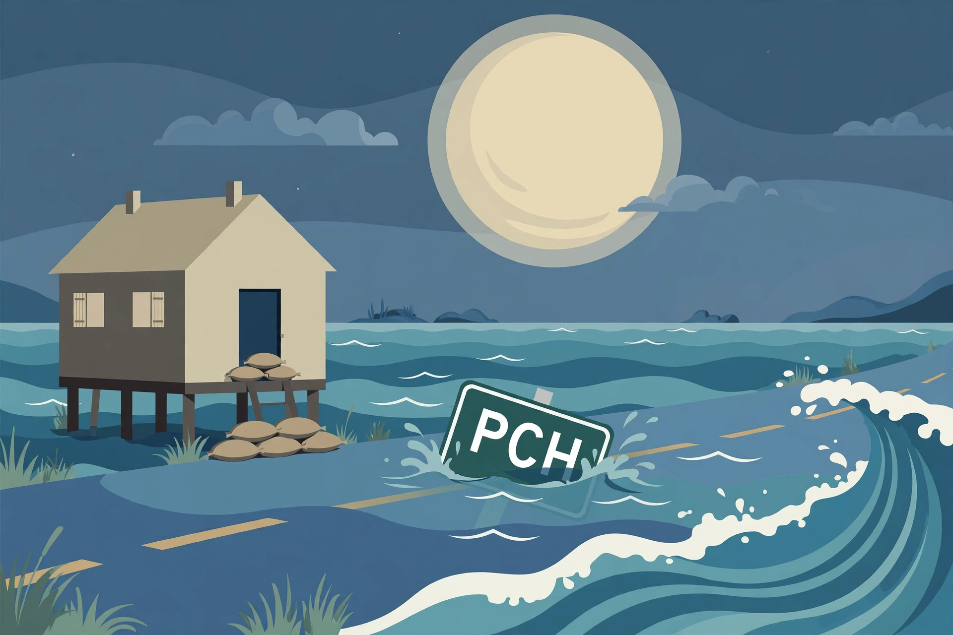
Monster king tides battered Huntington Beach in Southern California in late October, damaging about 114 homes and other structures and forcing road closures, emergency declarations and a prolonged clean-up along a stretch of coast already familiar with high water. City officials said six of the damaged homes were yellow-tagged, restricting access for safety reasons while inspections continued. Much of the damage was concentrated in Sunset Beach and Huntington Harbour, low-lying neighbourhoods where seawater pushed inland, flooded streets and entered properties, leaving residents to pump out water, clear debris and wait for the next tide cycle to pass.
The Huntington Beach flooding was part of a wider episode of exceptionally high tides that affected California coastal communities from October 26 onward. Homes, businesses and roads were inundated in several places, Pacific Coast Highway was closed in sections, and local emergency declarations were issued as officials tried to keep drivers and pedestrians away from flooded routes. People were seen wading through knee-deep water and navigating flooded areas on paddleboards, images that captured how quickly a familiar coastal road or neighbourhood street can become impassable when the tide runs well above its predicted height.
King tides are not a storm surge in the usual sense. They are the highest high tides of the year, produced when the gravitational pull of the Sun and the Moon align to raise sea levels further than normal. In this case, forecasters also pointed to warmer ocean water associated with El Niño, which can elevate sea levels and add to the height of an already high tide. The combination meant that observed water levels ran noticeably above astronomical predictions, turning a predictable tidal peak into a flooding event for homes and infrastructure built close to the water’s edge.
Huntington Beach flooding and the king tides behind it
The numbers recorded by tide gauges underline how exceptional the late-October tides were. The National Weather Service recorded 2.60 metres, or 8.52 feet, above mean lower low water at the San Diego tide gauge on Tuesday, October 27, the highest level in that station’s record. Tides at Huntington Beach reached 2.50 metres, or 8.20 feet. In San Diego, the gauge topped eight feet, nearly one and a half feet above the predicted level. The National Weather Service in San Diego reported that observed high tides ran about 0.40 to 0.49 metres, or 1.3 to 1.6 feet, above astronomical predictions. A difference of that size may sound small on paper, but along a flat coastline it is enough to push water over seawalls, across beaches and into streets that would normally stay dry.
Road closures followed quickly. An official notice on October 28 listed Pacific Coast Highway closures between Warner Avenue and Anderson Street, and Saybrook Lane between Edinger Avenue and Humboldt Drive. Pacific Coast Highway was shut in both directions between Seal Beach and Huntington Beach, cutting a key coastal route for commuters, visitors and emergency vehicles. Orange County Metrolink service was suspended on Monday between Laguna Niguel and Mission Viejo and Oceanside, adding a rail disruption to the road closures. For residents trying to reach work, school or medical appointments, the closures turned a tidal event into a day-to-day practical problem, not just a dramatic photograph of waves over a seawall.
The damage was not limited to water in streets and ground floors. In one structure, saltwater came into contact with a lithium-ion battery and sparked a fire inside the building, a reminder that floodwater can create secondary hazards long after the tide itself has receded. Electrical systems, batteries, vehicles and stored chemicals all present additional risks when submerged in saltwater, and fire and emergency crews have warned in similar events that residents should not re-enter damaged buildings until they have been checked. The city declared a state of emergency on Monday, activating a command post to coordinate response, road management and damage assessment. By Friday, tides had calmed, but the assessment and repair work was only beginning.
Warnings, advisories and a city bracing for the next peak
The official warning picture evolved over several days. A coastal flood warning for Orange and San Diego counties expired at 1 p.m. Pacific Daylight Time on October 29, while advisories lingered until October 30. Advisories around San Francisco Bay, San Pablo Bay and Monterey Bay were extended through November 1. The staggered expiry reflected local differences in tide timing, geography and exposure: a bayfront neighbourhood sheltered from ocean swell can still flood at high tide if water levels remain elevated, while an open-coast beach community may see conditions ease sooner once the tidal peak passes.
City officials in Huntington Beach have warned that tides in late November could be even higher than those seen in late October. That warning is tied to the calendar of winter king-tide periods identified by the California Coastal Commission: November 24 to 26 and December 23 to 25, 2026, followed by January 21 to 22, 2027. Those dates do not guarantee flooding on the same scale — wind, swell, rainfall and offshore conditions all influence what actually happens on a given day — but they mark the windows when the astronomical tide will again be at its highest, and when coastal communities are most vulnerable if other factors line up in the same direction. Residents, businesses and local agencies are therefore being urged to treat the October event as a rehearsal, not as a one-off.
Huntington Beach was not the only city to take emergency action. Newport Beach also declared a local emergency on October 9, after swells and elevated tides sent seawater across the Balboa Peninsula, stranding motorists and partially submerging vehicles. That earlier episode, weeks before the late-October king tides, showed that the 2026 autumn tide season has repeatedly tested coastal defences. In both cities, the pattern has been similar: water crosses a beach or peninsula road, vehicles are caught out, emergency crews respond, and officials close roads and urge the public to stay away from flooded areas until water levels fall.
It is important to keep this king-tide event distinct from other weather stories circulating at the same time. The flooding described here, from October 26 to 29, was driven by astronomical tides plus elevated sea levels, not by the separate Halloween storm system that has been covered elsewhere. Readers following this week’s coastal storms should note that distinction: king tides, not the Halloween storm, explain the Huntington Beach damage figures in this article. The event is also separate from the Arizona flash-flood topic covered in the previous batch. Conflating different hazards — tide-driven flooding, storm-driven flooding and desert flash flooding — would obscure the different causes, warnings and preparations each one requires.
What the 114-structure figure does and does not mean
The figure of about 114 damaged homes and other structures comes from city officials and should be treated as a city-reported, approximate total at this stage. It is a damage count, not a confirmed insurance loss total and not a Federal Emergency Management Agency loss figure. Damage assessments evolve as inspectors reach more properties, as owners report losses, and as buildings that initially appeared lightly affected are found to have hidden water damage to foundations, wiring or lower walls. The six yellow-tagged homes illustrate the safety dimension of that process: a yellow tag restricts access because a building is considered unsafe to occupy in its current condition, even if it has not been destroyed.
For homeowners in Sunset Beach and Huntington Harbour, the practical questions now are about drying out, mould prevention, electrical safety and insurance claims, as well as about longer-term protection. Coastal properties in these neighbourhoods sit close to sea level, and repeated tidal flooding raises questions about seawall height, drainage, building elevation and the cost of repeated repairs. Local authorities, state agencies and the Coastal Commission will all have a role in those discussions, but for individual households the immediate priority remains making homes safe and habitable before the next king-tide window arrives in late November.
For the wider California coast, the late-October event is a reminder that high-tide flooding is becoming a recurring seasonal risk, not a rare curiosity. When a tide gauge sets a station record, when a major highway closes in both directions, when a rail service is suspended and when more than a hundred structures are damaged in a single city, the event has moved beyond a scenic high tide into a public-safety and infrastructure story. The next test will come with the November king tides. Whether they produce a repeat of the October flooding will depend on conditions at the time, but Huntington Beach and its neighbours are now preparing on the assumption that the water could return — and could run higher. More California news this week provides context on the state, with no claimed connection to this tidal event.
Sources
USN reviewed reporting from multiple outlets for this story. Read more from New York Post, Watchers News and Weather.com.