

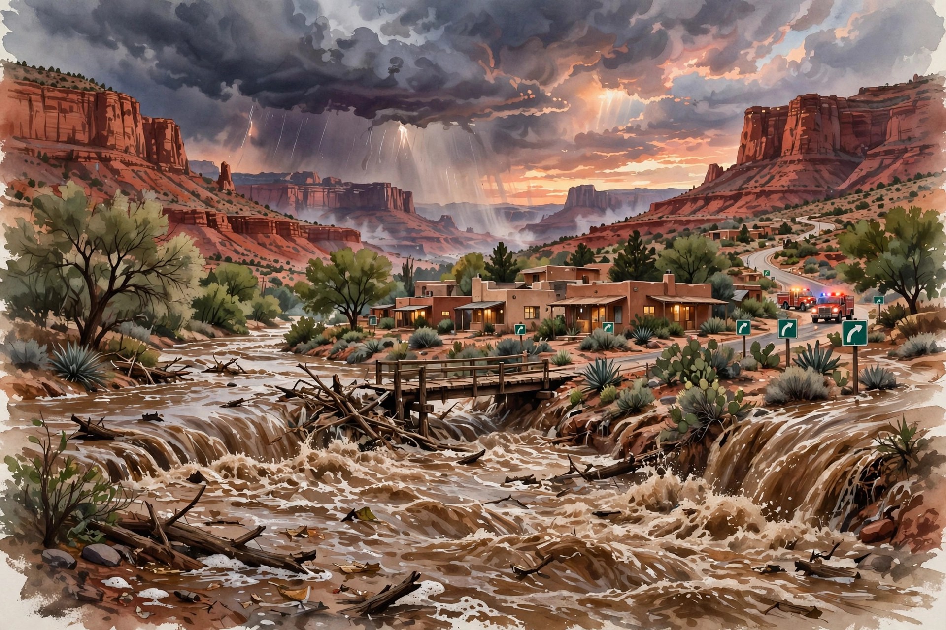
Sedona, Arizona, spent Sunday, November 1, watching a normally gentle desert creek turn into a fast, brown torrent. Flash flooding on Oak Creek forced the city to order residents in three creek-side evacuation zones to leave at once, sent fire crews out on what they described as an unusually large number of rescue calls, and closed highways that link the red-rock tourist town to the rest of northern Arizona. By Sunday evening the creek was still running high, the warnings were still in force, and the full scale of the damage was not yet known — a reminder that in a desert canyon town, a flood does not need a hurricane to become dangerous. It only needs several inches of rain falling on ground that is already soaked.
The evacuations began early. At 7:45 a.m. on Sunday, Sedona placed evacuation zones 8, 9 and 10 under a mandatory “GO” order, the highest level in Arizona’s Ready, Set, Go system, meaning residents were told to leave immediately because danger was imminent. The zones cover the eastern side of the city along State Route 179 and the land bordering Oak Creek, including neighbourhoods and lodging areas along Trails End, Bear Wallow Lane, Sycamore Road and the streets around the Poco Diablo resort area. People ordered out were directed to a shelter at Sedona Red Rock High School. Residents in other zones were not ordered to leave, but the city warned everyone to stay away from creek beds and washes and never to try to drive across a road with rushing water on it.
That warning was not abstract. The Sedona Fire Department said it was handling what it called an excessive amount of rescue operations on Sunday, called in extra personnel, and shared video showing vehicles stuck in floodwater and rushing water reaching almost to the front doors of homes. In a short video message, Fire District Chief Ed Mezulis said crews from surrounding communities were coming in to help because local fire and police teams were already answering multiple reports of people trapped in their homes by rising water. State air-rescue crews were also reported to have carried out rooftop evacuations in the Sedona area, and local coverage put the number of homes evacuated near Oak Creek at 19 or more by Sunday afternoon. No confirmed death toll for Sedona had been reported in the coverage reviewed for this story, and readers should treat any social-media casualty claim that has not been confirmed by the city or county as unverified.
Sedona Arizona flooding: how Oak Creek rose so fast
The speed of the rise is what caught many people out. The National Weather Service office in Flagstaff had warned on October 31 that overnight flood risks were possible heading into November 1, and at 5:37 a.m. on Sunday residents in northern Arizona received a flood warning for excessive rainfall. By about 8:30 a.m., between 1.5 and 2.25 inches of rain had already fallen around Sedona, according to Weather Service figures cited in local reporting, with more rain still to come. Oak Creek was already above flood stage at Sedona and at Cornville, downstream, on Sunday morning, under a flash flood warning that at one point ran through 11:15 a.m. and was later extended.
Gauge readings through the day show why officials acted so early. In a National Weather Service warning issued on Sunday afternoon, Oak Creek at Sedona stood at 13.93 feet at 2:45 p.m., just below its 14-foot flood stage, with a crest forecast near 18 feet later that evening. At that level, the warning said, flooding begins at the Rancho Sedona RV Park, Trails End Drive, the Oak Creek Mobilodge, the Poco Diablo Resort on Sycamore Road and other creek-side sites, and by 18 feet minor damage was expected to shops and galleries near the Tlaquepaque bridge. Downstream at Cornville, where flood stage is 8 feet, the creek stood at 16.94 feet at 3 p.m. and remained above moderate flood stage into the evening. A separate flood warning for Oak Creek in Coconino and Yavapai counties ran until noon Mountain Standard Time on Monday, with roads closed and impassable in places and the risk of further rises overnight from additional rain upstream.
Those numbers matter because Oak Creek’s danger is not only its depth but its shape. The creek runs through a narrow canyon corridor lined with homes, resorts, campgrounds and low-water crossings, so water that would spread harmlessly across a wide floodplain elsewhere is funnelled into a fast channel here. The Weather Service’s own stage guide for Sedona makes the point plainly: at 13 feet the stream reaches the terrace under the Tlaquepaque bridge and low-water crossings close; at 14 feet, flood stage, several downstream islands are evacuated and access roads, buildings and homes along the creek begin to flood; at 20 feet, major flooding would hit mobile homes downstream of the bridge and access roads along the creek. Sunday’s forecast crest near 18 feet sat squarely in the range where creek-side property, not just roads, was at risk.
A sewage spill, closed highways and a state-wide response
Flooding brought a second, less visible hazard on Sunday morning. At about 9:45 a.m., a sewer spill entered Oak Creek near 135 Bear Wallow Lane after heavy rainfall and localised flooding overwhelmed a pump station, the city said. Officials estimated that about 2,700 gallons entered the creek. The city said active evacuations and extreme flooding kept crews from notifying residents at once, and that water-quality testing, soil sampling and disinfection of the land surface had not yet been carried out because conditions around the site were still unsafe. Residents were therefore being told to treat creek water as contaminated as well as dangerous — a warning that matters for anyone tempted to wade in to check property or retrieve belongings once the water begins to fall.
Roads told the same story of a region cut into pieces. The Arizona Department of Transportation closed State Route 89A between Sedona and Kachina Village, mileposts 375 to 397, and reported rockfalls across northern Arizona that its crews were clearing with plough trucks. State Route 73 between Indian Pine and White River and State Route 238 between Maricopa and Gila Bend were also closed, and Interstate 17 in northern Arizona was shut for a time before being reopened in both directions. By Sunday evening there was still no estimated reopening time for the highways that remained closed, and the department directed drivers to its AZ511 service and app, or to 511 by phone, for live conditions rather than relying on social-media posts that can go out of date within an hour.
The state response widened through the day. Arizona Governor Katie Hobbs said she was closely monitoring the Oak Creek flooding and evacuations across the state and had directed state resources to help, with Department of Public Safety air rescue carrying out rooftop evacuations and transportation crews clearing debris from roads. Coconino County activated its emergency operations centre to coordinate evacuation information, sandbag distribution and road-closure updates, and the state’s emergency operations centre was also activated at a remote level. Phoenix Fire Department crews were sent to the Camp Verde area on a statewide mutual-aid request, a sign of how thin local crews were stretched by simultaneous calls across the north of the state.
Beyond Sedona: Camp Verde, Gila County and Tucson
Sedona was the most photographed part of Sunday’s flooding, but it was not the only community ordered out. In Camp Verde, in Yavapai County between Flagstaff and Phoenix, the Marshals Office announced around noon on Sunday that residents near the Verde River, West Clear Creek and Wet Beaver Creek needed to evacuate immediately, with a temporary shelter at the Camp Verde Parks and Recreation Gym near Main and Hollamon streets. In Clarkdale, residents living near the river on Siesta, River Drive, Rincon, Rio and the Farm at Bent River were asked to prepare to evacuate, with a shelter at the Town Hall Clubhouse, and two river access points were closed.
In Gila County, officials asked the entire community of Gisela, near Payson, to evacuate, with the Gisela Community Center kept open for residents and efforts under way to open an emergency shelter in Payson. In Tonto Basin, Greenback Valley RV Park and the lower ends of Lazy JR and Sleepy Hollow RV Park were placed on “go” status, with residents directed to Tonto Basin Elementary School. On the Fort Apache Indian Reservation, rising water in Cibecue Creek prompted an evacuation call early on Sunday. And far to the south, in Tucson, the Weather Service logged about ten swift-water rescues in roughly an hour on Sunday morning, while Tucson’s airport measured 0.78 inches of rain in a single hour — more than the city normally receives in the whole month of November — and close to 0.9 inches by noon, more than double the November 1 daily record of 0.42 inches set in 1987.
The common thread was saturation. A National Weather Service meteorologist in Tucson described the region as receiving two or three months of rain in a couple of days, and the Weather Service estimated that as much as 4 inches could fall across parts of the Southwest in this round, driven by a series of Pacific storm systems. The latest soaking rain began on Saturday evening and was expected to bring flash flooding to already saturated areas through Monday, with flood watches covering nearly all of Arizona and parts of southern Utah, southwestern Colorado, western New Mexico and part of southern Nevada. When ground is already wet, the Weather Prediction Center has warned, further heavy rain runs off quickly instead of soaking in, which is why steep terrain, slot canyons, washes and burn-scar areas were singled out as especially dangerous.
Why this flood matters the day before Election Day
Sunday’s flooding arrived on the eve of a consequential week for Arizona and the country, with Election Day on Tuesday, November 3. USN is not aware of any announcement, in the coverage reviewed, that polling places in the Sedona area had been moved because of the flooding, and readers in affected areas should check directly with the city, Coconino County or Yavapai County election offices — not with a news headline — for any change to a voting location or to road access on Tuesday. The practical point for Monday is simpler and does not depend on the election calendar: do not return to an evacuated zone until officials say it is safe, do not drive through flooded roads, and do not assume a road that was open in the morning is still open in the evening.
The same caution applies to the clean-up. Floodwater in Oak Creek on Sunday carried sewage as well as silt and debris, and creek-side properties that were evacuated may have standing water, damaged electrical systems and weakened banks when residents return. Local officials asked people to stay away from creek beds and washes even after the rain eases, because a creek that has fallen can rise again with rain upstream, and because banks and low-water crossings can fail without warning after being undercut. Anyone trapped by rising water, or facing an immediate emergency, was told to call 911 rather than attempting a self-rescue across moving water — advice that flood officials repeat because just six inches of fast-moving water can knock a person down and about a foot can float a vehicle.
What happens next in Sedona and northern Arizona
On Monday, November 2, the immediate questions are whether Oak Creek falls as forecast, which highways can reopen, and when evacuated residents can return to assess damage. The flood warning for Oak Creek ran until noon Mountain Standard Time on Monday, and the Department of Transportation had given no reopening estimate for State Route 89A and the other routes still closed on Sunday evening. Damage assessment, water testing at the Bear Wallow spill site, and any decision about longer-term repairs to creek-side roads and crossings will follow the water’s retreat, not precede it, and local officials are likely to update evacuation zones in stages rather than lifting them all at once.
For Sedona itself, a town whose economy depends on visitors coming for red-rock views, hiking and creek-side lodging, the timing adds a second kind of cost. A flood that closes the main road into town and evacuates creek-side resorts does not only damage buildings; it cancels stays, closes trails and leaves visitors unsure whether it is safe — or even possible — to arrive. That economic question will only become clear once road reopenings and property assessments are published, and it is one reason the city’s updates, rather than dramatic video clips, are the reliable guide in the days ahead. For now, the verified picture is this: three zones ordered out on Sunday morning, a creek forecast to crest near 18 feet at Sedona and already more than twice flood stage downstream at Cornville, highways closed with no reopening time, and a community told, above all, to stay out of the water and wait for official word.
USN has previously covered the wider Southwest flooding threat this weekend, including the saturated conditions running through Monday in Phoenix and beyond, and the record-level river flooding in Pagosa Springs, Colorado, on the other side of the same storm system: Arizona’s saturated Southwest braces for more flash flood threat through Monday (https://usnbreaking.com/arizonas-saturated-southwest-braces-for-more-flash-flood-threat-runs-through-monday-in-phoenix-and-beyond/) and Pagosa Springs flooding as the San Juan River was forecast to crest at a record level (https://usnbreaking.com/pagosa-springs-flooding-san-juan-river-forecast-to-crest-at-record-19-71-feet-as-mandatory-evacuations-continue/).
Sources
USN reviewed reporting from multiple outlets for this story. Read more from Arizona Republic (https://www.azcentral.com/story/weather/severe/2026/11/01/flash-floods-trigger-evacuations-across-arizona/92551548007/), FOX 10 Phoenix (https://fox10phoenix.com/news/sedona-flooding-triggers-evacuations-closes-multiple-arizona-highways) and La Nación (https://www.lanacion.com.ar/usa/flash-floods-trigger-evacuations-in-arizona-and-colorado-amid-heavy-rains-in-southwest-nid01112026/).