

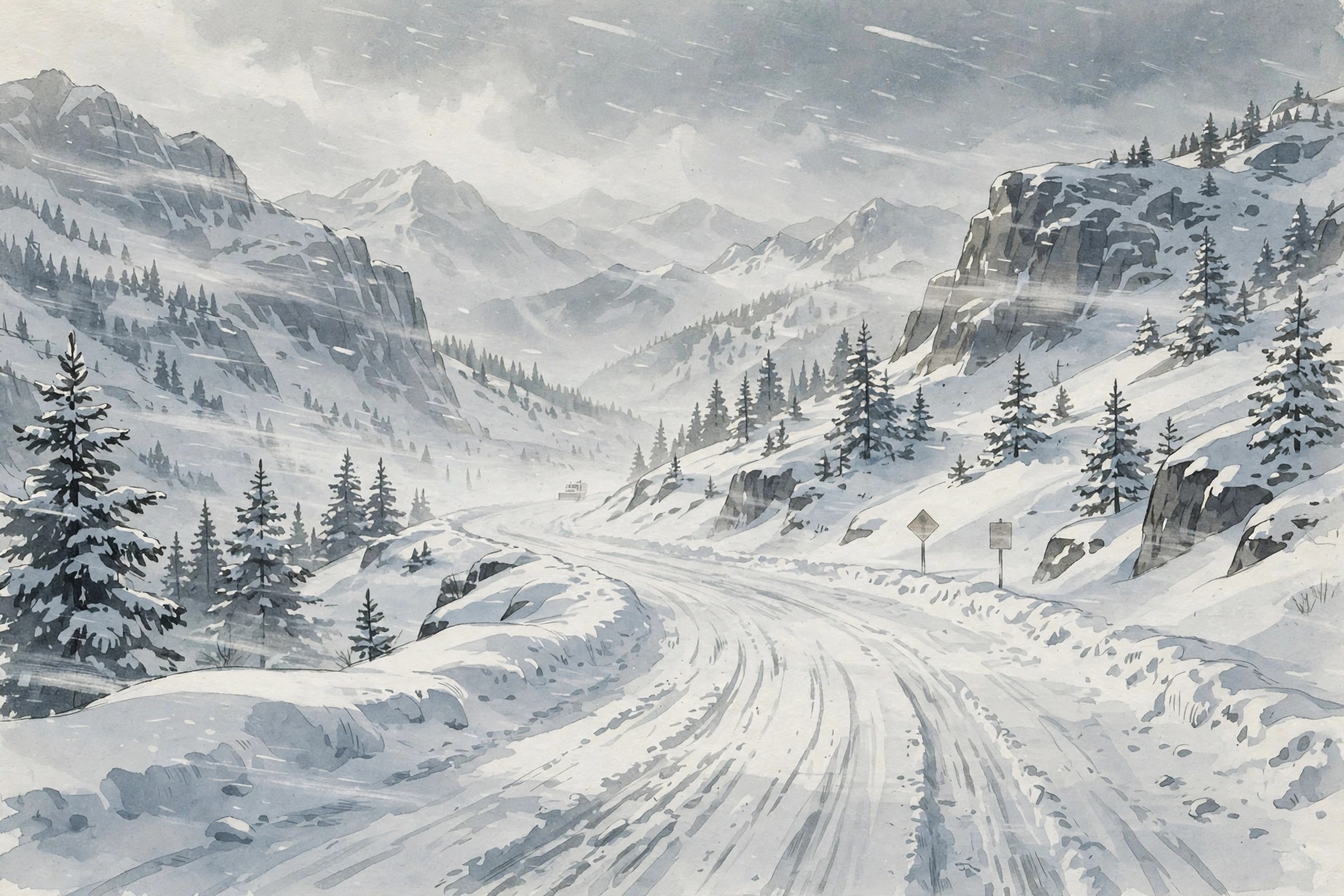
The storm was the latest in a series of Pacific systems that had already soaked the Southwest with heavy rain and pushed rivers toward record levels in southwestern Colorado. As colder air moved in behind the rain, precipitation changed to snow at higher elevations, and the boundary between rain and snow, the snow level, became the key variable for travelers. Below about 10,000 feet in the San Juans, totals were lower and rain mixed with snow. Above that elevation, where the warnings applied, snow accumulated rapidly, driven sideways by wind into deep drifts. That elevation distinction matters for anyone reading a forecast: a town at 8,000 feet and a pass at 11,000 feet, only a few miles apart, could experience entirely different conditions, and a forecast of 18 inches for a mountain zone does not mean 18 inches will fall on every road or in every community inside that zone. It means that, in the highest, most exposed parts of the warned area, that much snow is expected, and that travel through those parts will be hazardous.
In Colorado, two National Weather Service offices issued overlapping warnings for different parts of the San Juan Mountains. The Grand Junction office’s warning for the northwest and southwest San Juan Mountains was already in effect on Sunday morning and ran until 2 p.m. Eastern Time on Monday, or noon Mountain Time. It called for 12 to 18 inches above 10,000 feet, with locally higher amounts, and gusts to 45 mph. It covered Telluride, Ouray, Silverton, Lake City, Rico, and Hesperus, along with Red Mountain, Molas, Coal Bank, and Lizard Head passes. The Pueblo office’s warning for the eastern San Juan Mountains above 10,000 feet ran from Sunday evening until 1 p.m. Eastern on Monday, or 11 a.m. Mountain Time, covering Wolf Creek Pass and Cumbres Pass. It forecast 8 to 14 inches and the strongest winds of the storm, with gusts to 50 mph that could produce areas of blowing and drifting snow. Pueblo forecasters identified Sunday night and Monday morning as the period of greatest concern in the eastern San Juans.
Winter storm warning totals in the San Juan Mountains
Wolf Creek Pass and Red Mountain Pass illustrate why forecasters treat mountain passes as special hazards, even within a broader winter storm warning. Wolf Creek Pass carries U.S. Highway 160 over the eastern San Juans, climbing to more than 10,850 feet with steep grades, sharp curves, and long sections exposed to wind and avalanche paths. Red Mountain Pass carries U.S. Highway 550, the Million Dollar Highway, over the western San Juans at more than 11,000 feet, with narrow lanes, steep drop-offs, and avalanche paths that regularly close the road in winter. Both passes are vital links: U.S. 160 connects Pagosa Springs and the San Luis Valley with the rest of southwestern Colorado, and U.S. 550 connects Ouray and Silverton with Durango. When either pass closes, drivers face detours of many hours, if a detour exists at all, and when both are affected by the same storm, much of southwestern Colorado’s high-country travel network is effectively shut down.
Avalanche-control closures added another layer of disruption. In the San Juans, highway crews and forecasters from the Colorado Avalanche Information Center monitor snowpack stability and, when conditions warrant, deliberately trigger avalanches with explosives to bring down unstable snow before it can fall on its own onto a highway. Those control missions require closing the road while the work is done and while crews check that the slope is safe to reopen. During a storm that is still depositing snow, control work may need to be repeated, and a pass that opens in the morning can close again by afternoon. Drivers were therefore warned not only about snow on the road but about the possibility of sudden, extended closures with little warning, and about the danger of stopping in avalanche paths, the open, treeless chutes visible on mountainsides above the road, even when the road itself appears passable.
The snow totals themselves deserve careful reading. A forecast of 12 to 18 inches above 10,000 feet means that, over the duration of the warning, that much new snow is expected to fall in the highest elevations. It does not mean that 18 inches will be on the road surface at any one moment, because plows remove snow continuously, wind redistributes it, and some snow compacts under its own weight or melts where the road surface is warmer. But it does mean that plow crews will be working continuously, that roads will be snow-packed and icy between plow passes, and that side roads and parking areas that are not plowed as frequently will accumulate deep snow quickly. It also means that the snow will be heavy and wet at lower elevations within the warned zone, where temperatures hover near freezing, and lighter and more prone to blowing at higher, colder elevations. Both types are hazardous: wet snow is heavy to shovel and can bring down trees and power lines, while dry, wind-blown snow creates whiteouts even after the snowfall itself has eased.
Montana and Wyoming snow and 50-60 mph gusts
Farther north, the National Weather Service office in Billings, Montana, issued a winter storm watch and warning for Sunday evening through Monday evening across the Pryor and northern Bighorn Mountains in Montana and the northeast Bighorn Mountains in Wyoming. The warning called for moderate to heavy snow, with total accumulations up to 8 inches possible, and winds gusting 40 to 50 mph, with some reports citing gusts to 60 mph. Visibility was expected to fall below a quarter of a mile at times due to blowing snow, a threshold that forecasters use to describe whiteout or near-whiteout conditions in which a driver cannot see the road ahead, the edge of the road, or oncoming traffic. In those conditions, the official advice is not to drive more carefully but not to drive at all, because even a slow-moving vehicle can slide off the road or be struck by another vehicle that cannot see it.
The Bighorn Mountains, like the San Juans, are a high, isolated range where weather can change rapidly and where help can be far away. The warning covered mountain zones rather than specific towns, which means that lower-elevation communities nearby might see far less snow, rain, or only a dusting, while the passes and high ridges received the full 8 inches and the strongest winds. That distinction is important for residents of towns near the Bighorns, who might look out the window, see light snow or rain, and assume that the warning was overstated, while drivers crossing the mountains encountered conditions that matched the warning exactly. Forecasters repeatedly stress that winter storm warnings apply to the warned elevation zone, not to every square mile inside the county or region named in the warning, and that travelers should check the forecast for the specific elevation and route they plan to use.
Elsewhere in the West, winter alerts extended across a broad area. The National Weather Service office in Elko, Nevada, warned of 12 to 16 inches above 7,500 feet and 8 to 12 inches between 6,500 and 7,500 feet, with snow-covered roads expected on State Route 229 through Secret Pass, into Lamoille Canyon, and across Harrison Pass. Winter weather advisories, a step below warnings, indicating snow that will make travel difficult but is not expected to reach warning criteria, covered parts of California, Utah, Idaho, and Colorado, including the Gore and Elk Mountains in Colorado, where 5 to 10 inches were forecast. In Wyoming the Riverton office’s advisory noted that the heaviest period of snow would occur between 11 a.m. and 11 p.m. Mountain Time on Sunday, with up to 4 inches at South Pass. The overall picture was of a single large storm system affecting the entire mountain West, with the heaviest snow concentrated in Colorado’s San Juans but hazardous conditions extending from Nevada to Montana.
Whiteout risk and travel described as very difficult to impossible
The phrase very difficult to impossible is not casual language. It is the National Weather Service’s standard wording for winter storm warnings in which heavy snow and strong winds combine to make travel life-threatening, and it appears in warnings only when forecasters expect that combination. Snow alone, even a foot of it, can usually be managed by plows and by drivers who slow down and increase following distance. Wind alone, even at 50 mph, can usually be managed by drivers who grip the wheel firmly and avoid high-profile vehicles. Snow plus wind is different, because wind lifts snow that has already fallen and drives it horizontally, reducing visibility to near zero and creating drifts that can bury a road in minutes. In a whiteout, a driver loses all visual references, the horizon, the road edge, nearby landmarks, and can become disoriented even while sitting still. The danger is not just that a driver cannot see an obstacle ahead; it is that a driver cannot tell where the road is at all.
In whiteout conditions, the safest action is to avoid being on the road. The second-safest action, if a driver is caught in deteriorating conditions, is to pull completely off the road, away from traffic, turn on hazard lights, and wait. Stopping in a travel lane, or even partially in a lane, creates a hazard for other drivers who also cannot see. A vehicle stranded in a whiteout can be struck by a plow or by another vehicle, and a driver who leaves a vehicle to walk for help can become lost within a few yards of the car, because blowing snow erases tracks and landmarks almost immediately. Forecasters and highway patrol agencies repeat the same advice in every major winter storm because it is counterintuitive: the instinct to keep moving, to push through to the next town, is often the instinct that leads to a crash or a stranding.
A vehicle stranded in deep snow or in a whiteout can also become a survival situation, particularly in remote mountain areas where cell phone coverage is unreliable and where help may take hours to arrive. Hypothermia can set in quickly if a driver leaves a vehicle or if a vehicle runs out of fuel and heat is lost. That is why winter travel checklists emphasize carrying extra clothing, blankets, food, water, a flashlight, a phone charger, and a shovel, and keeping the fuel tank at least half full. Those items are not luxuries; they are the margin between an inconvenient delay and a dangerous emergency when a storm closes a pass or when a vehicle slides off a road that has not yet been plowed.
How to travel safely through a mountain winter storm warning
If you must travel during a winter storm warning, preparation and patience are more important than speed. Before leaving, check the latest forecast for the specific passes and elevations you will cross, not just for your destination town, and check road conditions and closures with the state department of transportation. Colorado’s COtrip, Montana’s MDT 511, and Wyoming’s WYDOT 511 systems provide real-time information on closures, chain laws, and plow activity. Tell someone your route and expected arrival time, particularly if you will be traveling through a remote mountain area where cell coverage is spotty. And build in extra time: a trip that takes two hours in good weather can take four or more in a winter storm, and a driver who is not in a hurry is less likely to take risks to make up time.
Before leaving, make sure your vehicle is ready for winter mountain driving. That means tires with adequate tread, and in Colorado, compliance with the state’s traction law, which requires adequate tires, chains, or four-wheel drive on certain highways during winter storms. It means a full tank of fuel, a charged phone, and a winter emergency kit that includes blankets, extra clothing, food, water, a flashlight, a shovel, and a first-aid kit. It also means clearing all snow and ice from the vehicle, including the roof, hood, and lights, because snow left on a roof can slide forward onto the windshield or backward onto the vehicle behind you, and because a driver who cannot see clearly through all windows is a hazard to everyone on the road.
During the drive, the fundamentals are simple but demanding. Slow down, increase following distance dramatically, and avoid sudden braking, acceleration, or steering inputs that can cause a skid on snow or ice. Use low-beam headlights in falling or blowing snow, because high beams reflect off snowflakes and reduce visibility further. Do not use cruise control on snow-covered or icy roads, because it can cause a vehicle to accelerate unexpectedly if a wheel slips. If you encounter a plow, stay behind it at a safe distance and do not attempt to pass unless you are certain it is safe and legal to do so; plows create a cloud of snow that can obscure the road, and the road ahead of a plow is unplowed. And if conditions deteriorate to the point where you cannot see the road, pull completely off the roadway, turn on hazard lights, and wait for conditions to improve or for help to arrive.
If you become stranded, the advice from emergency managers is consistent: stay with your vehicle unless you are certain you can reach help on foot, because a vehicle provides shelter, is easier for rescuers to find than a person on foot, and contains supplies that can help you survive. Run the engine periodically for heat, but make sure the exhaust pipe is clear of snow to avoid carbon monoxide poisoning, and crack a window slightly for ventilation. Make the vehicle visible by turning on hazard lights and, if possible, tying a bright cloth to the antenna or door handle. Conserve phone battery by limiting calls to essential communications, and if you have cell coverage, call for help and provide your location as precisely as possible, including the highway, direction of travel, and nearest mile marker or landmark.
The storm within a larger pattern of western weather
The same Pacific storm system that was bringing snow to the San Juans and Bighorns had already produced flooding in southwestern Colorado, where the San Juan River at Pagosa Springs was forecast to crest at a record 19.71 feet, and heavy rain across the Four Corners region. The connection between the two hazards is the structure of the storm: warm, moist air ahead of a cold front produces rain at lower elevations and in valleys, while colder air behind the front produces snow at higher elevations. As the front moved through, the rain-snow line dropped, turning rain to snow in the mountains even as rivers continued to rise from the rain that had already fallen. For emergency managers, that meant dealing with two different disasters from the same storm at the same time: flooding in valleys and whiteout travel in the mountains, with different warnings, different evacuations, and different road closures.
For Colorado in particular, the storm was a reminder of how much weather can vary over short distances in the mountains. A resident of Denver, where the storm might bring rain and then light snow, and a resident of Silverton, where the same storm could bring 18 inches, were experiencing the same weather system in entirely different ways. That variability is why forecasters emphasize elevation, aspect, and specific routes rather than statewide averages, and why travelers are urged to check forecasts for the passes they will cross rather than for the state as a whole. It is also why a winter storm warning for a mountain zone should not be dismissed because conditions in a nearby valley seem mild: the warning is for the mountains, and the mountains are where the danger lies.
It also served as an early-season reminder that winter in the Rockies does not wait for the calendar. By early November, high mountain passes are already in winter conditions, with snowpack building, avalanche paths becoming active, and road crews shifting to winter operations. Drivers who had not yet switched to winter tires, who had not yet assembled a winter emergency kit, or who were still thinking in terms of autumn driving were caught by a storm that was, by mountain standards, entirely normal for the season. The warnings that followed were not extraordinary; they were the standard response to a standard early-winter storm in a region where such storms are a regular feature of life. The difference this time was the scale: a single system affecting the entire mountain West at once, with record flooding in one valley and whiteout travel in the mountains above it.
USN will update this story as new forecasts, road closures, and travel advisories are issued. Readers planning travel in Colorado, Montana, or Wyoming should check the latest National Weather Service forecasts and state department of transportation road condition reports before leaving, and should postpone travel if a winter storm warning covers their route. Conditions in the mountains can change rapidly, and a forecast made in the morning can be outdated by the afternoon. The safest travel decision is often the simplest one: wait.
Sources
USN reviewed reporting from multiple outlets for this story. Read more from Autoblog, The Spun and Men’s Journal.