

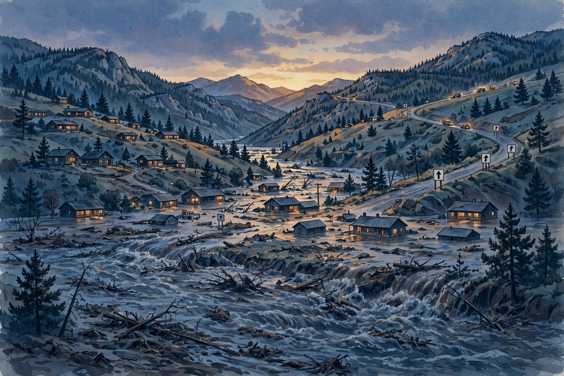
Schools in Del Norte and Monte Vista, Colorado, were canceled on Monday, November 2, 2026, as mandatory evacuation orders spread across the San Luis Valley and the Rio Grande rose toward flood levels not seen in years. The northern part of the Del Norte and Monte Vista school district was placed under evacuation status on Sunday evening, and district officials told families they hoped to return on Tuesday but would wait to see what, in their words, mother nature decided.
The evacuations were not precautionary in the abstract. They followed a weekend of torrential rain across southwestern Colorado that pushed rivers in several counties toward historic crests, closed highways, and forced emergency officials to move from warnings to orders. In Monte Vista, the mandatory evacuation zone ran along the Rio Grande from the intersection of Highway 160 and Rio Grande County Road 5N, east through the town, to Rio Grande County Road 6E. Residents in the zone were told to evacuate immediately, not to wait for conditions to worsen, and not to return until officials announced that the order had been lifted.
In Del Norte, the order covered the Rio Grande from County Road 18 to the town, the town itself from the river south to 4th Street, and the area from the town’s eastern limit to the intersection of Highway 160 and Rio Grande County Road 5N. In South Fork, the order covered the South Fork of the Rio Grande from Wolf Creek Ranches on Highway 160 to the river’s confluence with the Rio Grande, including the Beaver Creek Estates subdivision, and the Rio Grande from River Greens at the confluence to County Road 18. The precision of those boundaries matters: evacuation orders that name roads and landmarks are orders that residents can actually follow, and in a valley where rivers define the map, the river is the boundary.
Shelters and the Rio Grande flooding forecast
Shelters opened across the valley for people forced from their homes. In Monte Vista, the shelter was the Ski Hi Complex at 2335 Sherman Avenue. In South Fork, it was the South Fork Community Building at 254 Colorado Highway 149. In Del Norte, it was the Rio Grande Hospital Wellness Center at 310 County Road 14. A small and large animal shelter was set up at the McMullen Building at the Ski Hi Complex in Monte Vista, a detail that matters more than it may sound: people are far more likely to evacuate promptly when they know their animals have somewhere to go, and emergency planners in ranching country plan for that fact.
Residents who had no way to reach a shelter, or who needed assistance evacuating because of medical or accessibility needs, were given a county number to call, 719-657-4221, and told to call 911 in an emergency. Evacuation instructions repeated the same warnings heard in every flood: follow directions from emergency personnel, do not attempt to cross flooded roads or barricades, and do not return to an evacuated area until the order is lifted. An evacuation map was published online, but officials stressed that the map was a guide, not a substitute for following the instructions of responders on the ground.
The forecasts behind the orders were stark. The Rio Grande was forecast to rise to 9.7 feet near South Fork by 11 p.m. on Sunday and to 10.4 feet near Monte Vista by 5 a.m. on Monday, both above the levels of the last flood. Those figures explain why the school decision came on Sunday evening rather than Monday morning: by the time buses would have rolled, the river was expected to be at or near its crest, and the roads buses use were already in the evacuation zone or at risk of joining it.
The wider southwestern Colorado picture was worse. In Pagosa Springs, in Archuleta County, the San Juan River was forecast to crest at about 19.71 feet late on Sunday, with a revised forecast pushing the crest toward 22 feet by about 11 p.m. The river reached about 16.81 feet at 8 p.m. on Sunday, above the previous week’s peak of about 15 feet, and officials warned that the danger had not passed even as the level dipped. The record for the San Juan at Pagosa Springs is 17.8 feet, a mark the river was forecast to pass by a wide margin. Mandatory evacuations covered more than 1,000 homes in the Pagosa Springs area, along the San Juan, Rio Blanco, Navajo, and Piedra rivers, including downtown Pagosa Springs and the area along Stollsteimer Creek next to U.S. 160.
In Conejos County, mandatory evacuations were ordered from Platoro through the Conejos River Canyon toward Mogote, with the rest of the county on pre-evacuation notice. In Rio Grande and Mineral counties, pre-evacuation orders covered the South Fork of the Rio Grande, including Del Norte, Monte Vista, and South Fork, before some of those orders were upgraded to mandatory evacuations on Sunday night. A flood watch for the San Juan Mountains and several southern river basins ran through Tuesday, covering Alamosa, Creede, Del Norte, Durango, Mancos, Monte Vista, Pagosa Springs, and South Fork. The state had already declared a flooding disaster emergency across 12 southwestern Colorado counties following severe flooding in late October, and Pagosa Springs had been evacuated a week earlier when the San Juan spilled its banks — a reminder that this flood arrived on ground that had not yet recovered from the last one.
What the San Luis Valley flooding means for the week ahead
For the San Luis Valley, the week ahead will be measured in river gauges before it is measured in anything else. Schools cannot reopen until buses can run safely, and buses cannot run until evacuation zones are lifted and roads are inspected. Homes that took water will need to be checked for structural damage and contamination before families return, and farms and ranches along the Rio Grande will face their own accounting: fences, irrigation works, stored feed, and livestock moved to higher ground. The valley’s economy is agricultural, and a flood that arrives in November, after harvest but before winter, disrupts the season’s closing work as well as its daily life.
The pattern behind the flood is worth understanding, because it is not a single storm but a sequence. Forecasters described a situation in which as much rain could fall in 24 hours as had fallen over two days in the previous week’s storm, on watersheds already saturated by that storm. In mountain country, that sequence is dangerous in a specific way: rain that falls on high ground becomes runoff that reaches valley rivers hours later, so a valley town can face its worst water after the rain over the town itself has stopped. That lag is why evacuation orders are issued on forecasts, not on observed river levels alone, and why officials urge residents to leave when told rather than waiting to see the water.
The same storm system also affected Arizona, Utah, New Mexico, and Nevada, with flood watches across much of Arizona and parts of the neighbouring states, and evacuations in Sedona and Camp Verde in Arizona. The regional scale of the event is a further reason to treat local orders seriously: emergency resources — swift-water teams, shelters, road crews — are shared across counties and states, and a valley that waits too long to evacuate may find that help is already committed elsewhere. Early evacuation is not only safer for the household. It is easier on a system that is handling several emergencies at once.
Residents returning after the orders lift should expect a changed landscape. Roads may be closed for inspection even where the water has gone, bridges and culverts may be weakened, and debris — from fences to propane tanks — may have moved into places it does not belong. Officials advise against entering floodwater, against driving around barricades, and against assuming that a road is safe because it looks dry. Floodwater also carries hazards that are invisible: sewage, chemicals, and sharp debris, and the mud left behind can hide damage to a home’s foundation or electrical system. The safe return is a slow return, checked by professionals where possible.
For Del Norte, Monte Vista, and South Fork, the immediate hope is the one the school district expressed: a return on Tuesday, if the river allows it. That hope depends on the Rio Grande falling as forecast, on no further heavy rain arriving while the ground is saturated, and on the flood watch expiring on schedule. If any of those conditions fails, the closures and evacuations will extend, and the valley will face a longer disruption. Either way, the weekend’s orders have already made the essential point: in a flood, the time to leave is when officials say so, not when the water arrives, and the schools that closed on Monday did so because the adults responsible for children in the valley chose the forecast over the hope that the river would stay in its banks.
Related USN coverage: Durango schools closed November 2 as Southwest flooding closes roads
Related USN coverage: Sedona Arizona flooding evacuations and highway closures
Sources
USN reviewed reporting from multiple outlets for this story. Read more from 96.5 The Fox (https://965thefoxfm.com/blog/2026/11/01/mandatory-evacuation-in-monte-vista/), KYDN 95.3 Country Music (https://kydncountry.com/mandatory-evacuation-in-monte-vista/) and Orbis Weather (https://www.orbisweather.com/potentially-catastrophic-flooding-threatens-three-colorado-counties/).