

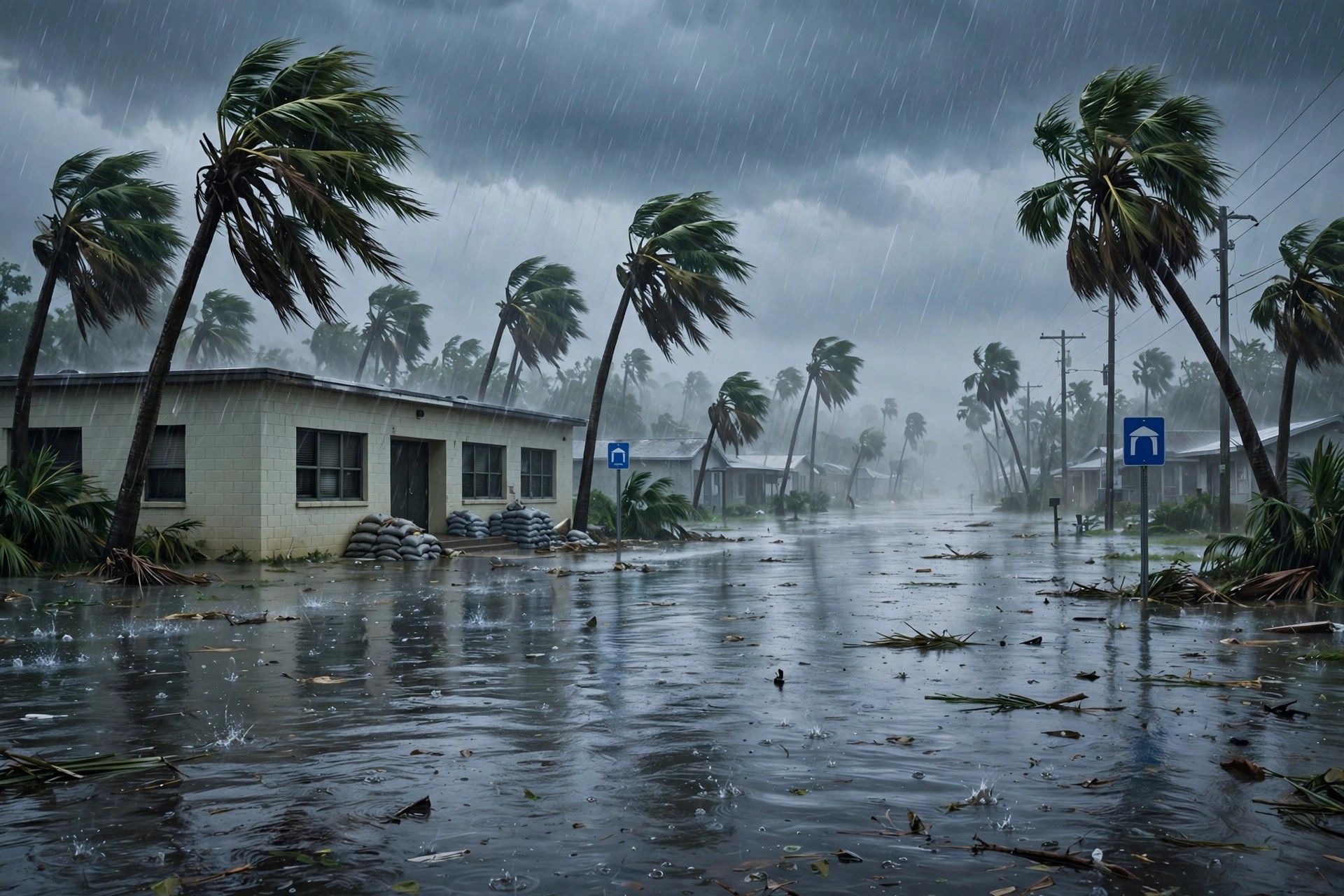
Okeechobee County in Florida closed its schools and county offices on Monday, November 2, 2026, after a weekend of torrential rain flooded roads, pushed water into buildings, and forced the county to declare a state of emergency. A shelter opened at Seminole Elementary School for residents who could not safely reach their homes, as a developing storm system continued to drop heavy rain across the Florida peninsula and kept much of the southern half of the state under a Flood Watch.
The closure was a local decision with a simple logic: roads that cannot be driven safely cannot carry school buses, and buildings that have taken water cannot safely receive students or staff. The Okeechobee School District said the safety of students and staff remained its highest priority, that its teams would continue monitoring school facilities and local roadways, and that any need for a makeup day would be addressed in the days ahead. That last point matters to families, because a single closed day is manageable, but a string of them is not, and the district was careful not to promise a reopening date while the water was still rising in places.
The rain that forced the closure fell mainly on Sunday. Communities around Lake Okeechobee were inundated with 5 to 7 inches of rainfall, according to the Florida Public Radio Emergency Network’s summary of the storm on Monday morning. In Okeechobee County itself, law enforcement reported 5 to 9 inches of rain by Sunday evening, with portions of State Road 70 and U.S. Highway 441 in and around the city of Okeechobee impassable and water entering structures. One gauge cited in local coverage recorded about 8 inches in roughly four hours, a burst of rain that overwhelmed drainage faster than any system designed for ordinary storms could handle.
How the Okeechobee County flooding unfolded
The storm was not a single downpour but a series of rounds of heavy rainfall, with thunderstorms training over the same places — a pattern in which storm after storm follows the same track, so that rain falls on ground that is already saturated. Forecasters warned that additional rainfall of 1 to 3 inches was possible south of the Interstate 4 corridor, with isolated totals of 3 to 5 inches where storms repeated. For areas where lakes and drainage systems were already struggling to keep up, any additional rain threatened to turn a bad situation into a worse one, and that warning shaped the decision to close schools before Monday morning travel began.
The geography of the flooding made the closures wider than a single town. Okeechobee County sits at the northern edge of Lake Okeechobee, and its road network depends on a small number of through routes. When State Road 70 and U.S. 441 go under water, the alternatives are limited, and the county’s offices, schools, and emergency services all face the same problem at once: staff cannot reliably get to work, and residents cannot reliably get to help. Closing county offices alongside schools was therefore not an extra precaution. It was a recognition that the same flooded roads affected every public service.
The Flood Watch covering the southern half of the state remained in place through at least early Tuesday, and the National Weather Service’s watches for east central Florida, including Okeechobee County, ran until 7 p.m. on Monday. In South Florida, the Flood Watch was extended to all of the region, including Collier County and mainland Monroe County, until 7 p.m. on Monday, after pockets of very heavy rain caused localised flash flooding on Sunday. The breadth of those watches is a reminder that Okeechobee’s flooding was the most severe local expression of a statewide event, not an isolated incident.
Farther east, the same storm system produced a second, separate emergency. In Palm Beach County, the National Transportation Safety Board and the Federal Aviation Administration began investigating a Learjet crash that occurred during Sunday’s inclement weather, in which all nine people on board were reported killed. That crash has already been covered in detail elsewhere, and it is mentioned here only because it illustrates the storm’s reach: the same weather that flooded Okeechobee’s roads also created hazardous flying conditions on the Atlantic coast, and the same county emergency systems were stretched across both events at once.
What Okeechobee County flooding means for residents this week
For residents, the immediate questions are practical. Which roads are passable, and which are not? When will schools reopen, and will the lost day need to be made up? Where can people go if water enters their home? The shelter at Seminole Elementary School answered the third question for those who needed it, and the district’s promise of updates on facilities and roadways was aimed at the first two. But residents should expect those answers to change during the day, because floodwater does not recede on a timetable, and a road that is passable in the morning can be closed again by an afternoon downpour.
The safety guidance for this kind of flooding is consistent and worth repeating, because most flood deaths occur in vehicles. Emergency officials advise drivers never to walk, swim, or drive through floodwater. Just six inches of moving water can knock a person down, and one foot of moving water can sweep a vehicle away. A flooded road hides its own dangers: the surface beneath the water may be washed out, the depth is impossible to judge from a car, and a vehicle that stalls in rising water can become a trap within minutes. The advice, in short, is to turn around rather than to test a flooded road, and to wait for official word that a route is open.
Along Florida’s Atlantic coastline, conditions were expected to deteriorate further as the storm system moved offshore. The combination of a strengthening storm and a ridge of high pressure over the mid-Atlantic was forecast to bring hazardous beach conditions, with rip currents, coastal flooding, and erosion possible. Wind gusts through the first half of the week could top 40 miles per hour, with seas reaching as high as 10 feet, and swimmers and boaters were advised to use extreme caution. For coastal communities, the flooding story therefore does not end when the rain stops. It changes form, from inland rain to coastal surge and dangerous surf.
Forecast models offered one piece of encouragement: most of the rainfall was expected to move offshore by late Tuesday, with the weather pattern generally becoming less active toward the latter part of the week. That outlook, if it holds, would give Okeechobee County a window to pump out water, inspect schools and county buildings, clear debris from State Road 70 and U.S. 441, and assess damage to homes that took water. It would also let the district make a firmer decision about reopening, rather than deciding day by day. But forecasts are not guarantees, and the county’s state of emergency will remain the framework for those decisions until officials are confident the water has stopped rising.
The longer lesson of the weekend is about how quickly a familiar Florida pattern — heavy rain, saturated ground, and a slow-moving storm — can become a local emergency. Okeechobee County did not need a hurricane to close its schools. It needed a few hours of rain falling faster than the land could drain it, on top of a day that had already soaked the ground. That is a pattern Florida communities will face again, and the county’s response — close early, open a shelter, keep the public informed, and wait for the water to fall before promising a return to normal — is the model that other counties will measure themselves against when their turn comes. Related USN coverage: Sedona Arizona flooding evacuations and highway closures. Related USN coverage: Durango schools closed November 2 as Southwest flooding closes roads.
USN reviewed reporting from multiple outlets for this story. Read more from Florida Public Radio Emergency Network, Spot On Florida and Storm Recovery Hub.