

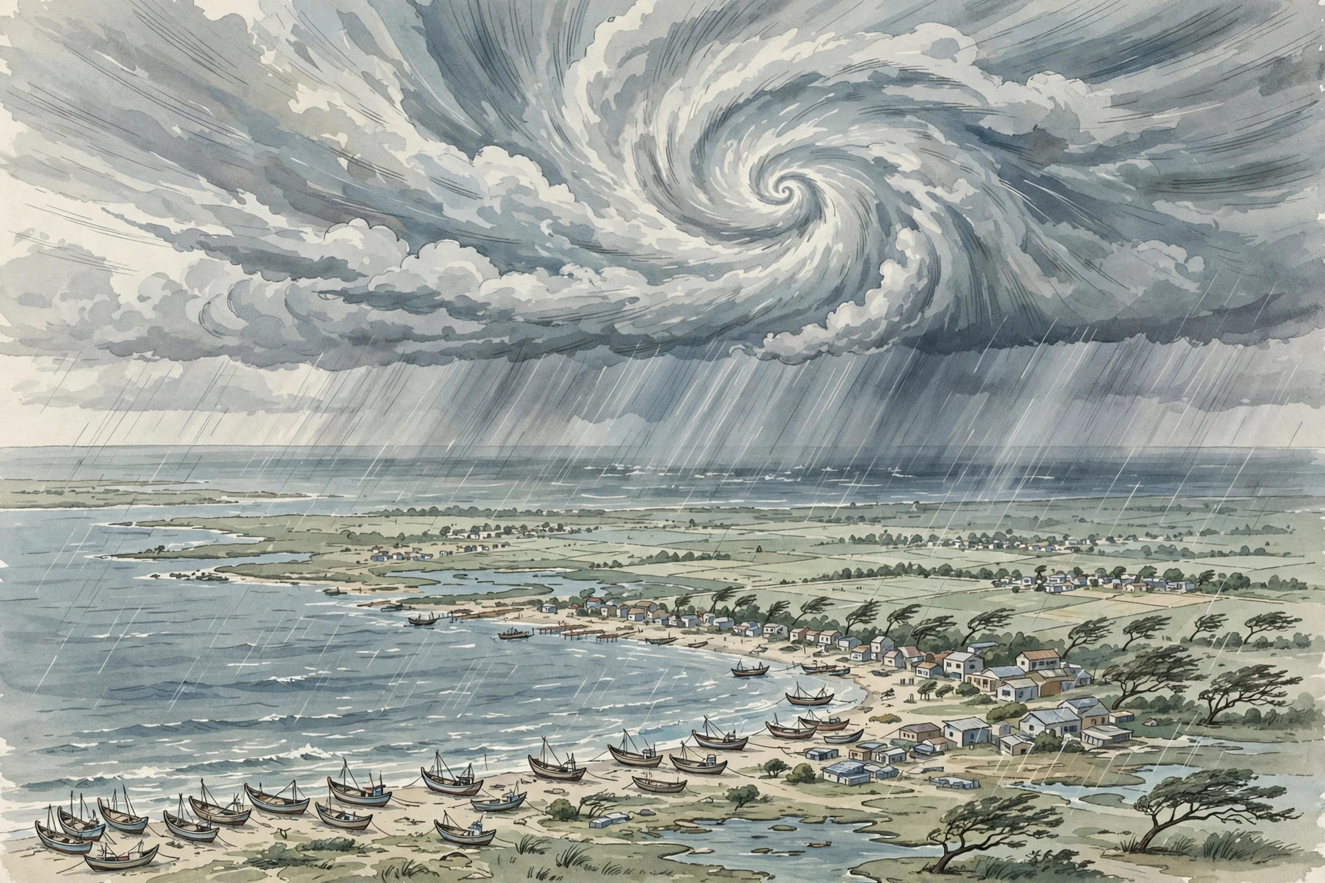
Cyclone Murasu, a storm that intensified over the Bay of Bengal on Sunday, November 1, 2026, is forecast to strike the south Andhra Pradesh coast as a severe cyclonic storm, with landfall expected between Nellore and Narsapur in the hours around midnight between November 2 and November 3. The India Meteorological Department (IMD) said the system was very likely to strengthen into a severe cyclonic storm over the west-central Bay of Bengal by the morning of November 2, before moving northwestwards towards the coast, bringing sustained winds of 100 to 110 kilometres per hour, gusting to 120 kilometres per hour, at the time of crossing. That forecast, if it holds, would make Murasu the second cyclone to hit the region in less than a week, after Cyclone Arnab made landfall in Andhra Pradesh on October 28 with winds up to 150 kilometres per hour, and officials in Andhra Pradesh, Tamil Nadu and Odisha have spent the weekend preparing for heavy rain, strong winds and disruption to normal life.
On Sunday afternoon, Murasu was still several hundred kilometres offshore, and its exact position varied slightly between bulletins as the storm moved west-northwestwards at about 27 kilometres per hour. At 2.30 p.m. on November 1, the IMD placed the system about 480 kilometres east-southeast of Chennai, 550 kilometres east-southeast of Nellore, 560 kilometres southeast of Machilipatnam, 600 kilometres southeast of Ongole and 610 kilometres south-southeast of Visakhapatnam. Earlier bulletins had put it further out, at around 560 kilometres east-southeast of Chennai and 630 kilometres east-southeast of Nellore, a difference that reflects both the storm’s movement during the day and the normal updating of a moving system, rather than any contradiction in the forecast. What remained consistent across the bulletins was the direction of travel, the expected intensification, and the stretch of coast identified as the likely landfall zone: the south Andhra Pradesh coast between Nellore and Narsapur.
What the Cyclone Murasu forecast for November 3 can — and cannot — yet say
It is important to be clear about what a cyclone forecast two days out can and cannot promise. The IMD’s central forecast is that Murasu will cross the coast between 11.30 p.m. on November 2 and 4 a.m. on November 3, as a severe cyclonic storm, but that window is a forecast, not a certainty, and both the timing and the precise point of crossing can shift as the storm moves and as new observations come in. The Hindu’s reporting from Amaravati, for example, cited a crossing time of 11.30 p.m. on Tuesday, November 3, with winds of 110 to 120 kilometres per hour, a slightly different framing of the same forecast window that underlines why readers should follow the latest IMD bulletin rather than treating any single hour as fixed. Similarly, local officials in Nellore spoke of landfall between Kavali and Kandukuru sometime between Monday evening and midnight, a narrower local assessment that sits inside the broader Nellore-to-Narsapur zone but is not identical to it. None of this means the forecast is unreliable; it means the forecast is a moving estimate, and the safest reading is the range, not a single point on a map or a single minute on a clock.
The wind figures also need careful reading. Sustained winds of 100 to 110 kilometres per hour, with gusts up to 120 kilometres per hour, are strong enough to uproot trees, damage electricity infrastructure, blow down temporary structures and make travel dangerous, but they are not the same as the peak winds of a much stronger system. Murasu is forecast as a severe cyclonic storm, a serious category that demands preparation, but the IMD’s language distinguishes it from the very severe category that some early reports mentioned, and readers should not assume the worst-case label from an early bulletin is the final intensity. Rainfall is the other major hazard, and in many cyclones it causes more widespread harm than wind alone. Under Murasu’s influence, very heavy to extremely heavy rainfall, defined as 115 millimetres to more than 200 millimetres in 24 hours, has been forecast across coastal Andhra Pradesh, with heavy to very heavy rain also expected in Rayalaseema and in northern Tamil Nadu, and the risk of waterlogging, local flooding and disruption to roads and power will persist even after the winds ease.
Fishermen and shipping have been given the clearest instruction of all: do not go out. The IMD advised the complete suspension of shipping and fishing operations off the Andhra Pradesh coast and over the southwest Bay of Bengal until the afternoon hours of November 3, and district officials repeated the warning to fishing communities in Nellore and Prakasam in the strongest terms. Inland, the parallel advice is simpler and just as important: stay indoors during heavy rain and strong winds unless travel is absolutely necessary, stay away from electricity poles and downed power lines, and move early to a safe place if you live in a low-lying area, a thatched hut, an old or dilapidated structure, or a house with mud walls.
Andhra Pradesh: Nellore and Prakasam on high alert
In Andhra Pradesh, the districts in the expected landfall zone have moved into full preparedness mode. SPSR Nellore District Collector Himanshu Shukla urged the public to remain extremely vigilant, warning that the district was likely to experience heavy to very heavy rainfall and that the cyclone’s impact was expected to be felt across a wide area stretching from Nellore city to Gudur, with particular attention to Kavali town and its surrounding areas. Residents in low-lying and coastal regions were urged to relocate well in advance to safe zones established in the district, rather than waiting until roads became impassable or winds made movement unsafe. The Collector also directed officials from the Animal Husbandry department, along with livestock owners, to take proactive measures for cattle, goats and sheep.
A 24-hour control room has been established at the Nellore Collectorate to provide emergency services, and residents can contact it on 0861-2331261 or 7995576699 in case of emergency. Schools and colleges in Nellore district will be closed on Monday, November 2, a decision mirrored in other affected districts as a precaution against children travelling through heavy rain and strong winds. In neighbouring Prakasam district, Collector P. Raja Babu also urged the public to stay cautious during the cyclone alert and released emergency contact numbers 18004250277 and 08592-295600. The two districts’ messages share the same core: take the warning seriously, move early if you are in a vulnerable location, keep emergency numbers at hand, and do not underestimate a storm that is still offshore on Sunday but is forecast to arrive within about a day and a half.
At the state level, Andhra Pradesh Chief Minister N. Chandrababu Naidu on Sunday directed officials to remain fully prepared for relief and rescue operations in view of another cyclone threat, telling them to keep adequate manpower and equipment ready and to shift personnel and materials to vulnerable areas in advance. Naidu also cancelled his scheduled Delhi visit on Monday, a signal that the state government expects to be managing the response through the landfall period rather than from a distance. The state disaster management authority has warned that several districts are likely to receive heavy to extremely heavy rainfall on Monday and Tuesday, and the combination of wind, rain and a second storm in quick succession raises a particular concern: ground already saturated by Cyclone Arnab, trees already weakened, and power and road networks already repaired once, may fail more easily the second time. That is why officials have stressed early evacuation from the most exposed places, rather than waiting to see how strong Murasu feels when it arrives.
Chennai and Tamil Nadu: schools closed and orange alerts
South of the expected landfall zone, Tamil Nadu has also taken precautionary action, even though the storm is forecast to cross further north. The Chennai and Tiruvallur district administrations declared a holiday for all schools and colleges in their respective districts on Monday, November 2, as a precautionary measure in view of Cyclone Murasu. The Regional Meteorological Centre issued an orange alert for Chennai and Tiruvallur, warning of heavy to very heavy rainfall, and the Tamil Nadu Revenue Administration and Disaster Management Department directed district collectors across the state to remain on high alert and follow standard operating procedures for disaster management. The Additional Chief Secretary and Commissioner of Revenue Administration instructed collectors to mobilise administrative machinery, take adequate preparedness measures, maintain strict vigilance and immediately report any untoward incidents to the State Emergency Operations Centre.
The rainfall warnings give a sense of the scale expected in northern Tamil Nadu. An orange alert was issued for Tiruvallur on November 1 and for Chennai and Tiruvallur on November 2, indicating the possibility of very heavy rainfall of 12 to 20 centimetres in 24 hours, while a yellow alert, indicating heavy rainfall of 7 to 11 centimetres, was issued for Chennai, Chengalpattu, Kancheepuram, Ranipet and the Nilgiris on November 1, and for Chengalpattu, Kancheepuram, Ranipet, Vellore and the Nilgiris on November 2. On November 3, the warning narrows to isolated heavy rainfall over the Nilgiris, a pattern that suggests the heaviest Tamil Nadu rain will come before and during landfall, rather than long after it. Thunderstorms and lightning accompanied by gusty winds of 40 to 50 kilometres per hour are also possible at one or two places in Tamil Nadu, Puducherry and Karaikal on November 1 and 2, with the warning continuing for isolated places until November 5.
Odisha watches Murasu while still counting Arnab’s cost
Odisha, further north, is not in the forecast landfall zone, but it is on alert for Murasu’s rain while still dealing with the aftermath of Arnab. The IMD has forecast light to moderate rainfall in southern coastal Odisha districts, with heavy rain at isolated locations, and state officials have said rainfall will begin on November 2, intensify on November 3 and continue through November 4 under the cyclone’s influence. The Odisha government, already engaged in relief and rescue operations after Arnab, ordered the evacuation of people from low-lying areas and hilly terrain in vulnerable districts, and the administration of Ganjam district, which faced the brunt of Arnab, directed officials to ensure adequate stocks of food, drinking water and other essential supplies in areas identified as vulnerable to flooding and waterlogging. Personnel of the National Disaster Response Force and the Odisha Disaster Rapid Action Force were on standby in vulnerable areas, a posture that reflects both the new storm and the fragility left by the last one.
That fragility is starkly illustrated by the search still under way in southern Odisha for people missing after a landslide linked to Arnab. At least 12 people remained missing after a landslide swept away Gidipabali hamlet, a remote hilltop settlement on the Ganjam-Kandhamal border, following heavy rainfall triggered by Cyclone Arnab on the night of October 28. The hamlet, home to around 25 people, came to wider attention only after survivors reached officials in neighbouring Kandhamal district on Friday evening, and around 160 to 170 personnel from the Fire Services, the Odisha Disaster Rapid Action Force, the National Disaster Response Force and the Special Operations Group were deployed from Kandhamal, trekking more than seven kilometres through muddy terrain to reach the site. A navy helicopter carrying seismic life-detection and victim-location equipment was sent to the area, though adverse weather prevented it from landing at the designated spot, and the equipment was being moved by road. The Gidipabali search is a separate disaster from Murasu, and it should not be confused with the new storm’s forecast, but it explains why Odisha officials are treating even indirect rain from Murasu with such seriousness: hillsides already soaked by one cyclone can fail more easily under the next spell of heavy rain.
What residents should do before landfall
For readers in the affected areas, the next 24 to 36 hours are the window for preparation, not for waiting to see the storm. Charge phones and torches, keep drinking water and essential medicines at hand, secure loose objects that wind can turn into projectiles, and avoid parking vehicles under trees or weak structures. If officials in your area have identified a shelter or safe zone, find out its location now, while roads are still passable, rather than during the storm itself. Keep the district control room numbers saved, in Nellore on 0861-2331261 or 7995576699 and in Prakasam on 18004250277 or 08592-295600, and follow the IMD and district administration bulletins for updates, because the landfall window, the wind speeds and the rainfall warnings will all be revised as Murasu moves closer to the coast. Do not rely on social media videos or forwarded messages that claim a precise landfall point or time without checking them against an official bulletin; in a fast-moving storm, an outdated screenshot can be more dangerous than no information at all.
Sources
USN reviewed reporting from multiple outlets for this story. Read more from The Hindu, DT Next and The New Indian Express.