

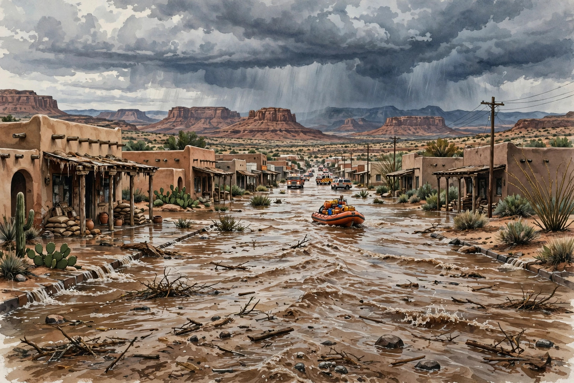
Heavy rain falling on ground already soaked by earlier storms turned rivers, creeks and normally dry washes across the Four Corners region into a fast-moving emergency in the first days of November 2026. Hundreds of people were evacuated in Arizona, Colorado and New Mexico, swift-water teams were kept busy across the region, and roads into whole communities were closed as water rose. At least one death was confirmed in the flooding, and police said a second death found in Flagstaff, Arizona, appeared to be weather-related, although an official cause and manner of death had not yet been determined when that report was published. The picture that emerged by Monday, November 2, was not of a single town in trouble, but of a broad, multi-state flood affecting the corner where Arizona, Colorado, New Mexico and Utah meet, with each state facing its own combination of river flooding, road closures and rescue work.
This Southwest event should not be confused with a separate flooding story in Florida, which involved different weather, different communities and different local consequences, including effects on schools and polling places there. The Four Corners flooding described here is a desert and mountain river flood, driven by Pacific moisture arriving over already saturated soil, and its hardest-hit places were mountain towns, river valleys and tribal communities in the interior West. Keeping the two events apart matters, because the advice, the river names and the recovery needs are different, even though both happened in the same news cycle.
The immediate trigger was a ribbon of deep tropical moisture, often called an atmospheric river and, in this case, nicknamed a pineapple express because its moisture source lay near Hawaii. Forecasters described a southward dip in the jet stream pulling that moisture into the Southwest, where it fell as widespread rain rather than as a narrow, localised downpour. The National Weather Service estimated that as much as four inches of rain could fall through Monday across the Four Corners region. Some places recorded far more over two days. Workman Creek, in a wilderness area near Phoenix, recorded 7.3 inches over two days. Flagstaff recorded 5.15 inches over two days, contributing to its wettest November 1 on record, in a city that typically sees only a handful of days a year with more than an inch of rain. Crown King in Arizona recorded 6.21 inches in one set of totals published during the storm, while totals of around two to nearly four inches were reported in parts of Colorado, New Mexico and Utah. A calculation cited in coverage, by former National Oceanic and Atmospheric Administration chief scientist Ryan Maue, put the total water that fell on the Four Corners states and Nevada over the previous two weeks at more than 20 trillion gallons, a figure that helps explain why the ground could absorb so little of the latest rain.
Pagosa Springs, Colorado, became the most closely watched community in the early phase of the flood. The town, home to a little more than 2,000 people and known for its hot springs and nearby ski resorts, sits on the San Juan River. Officials warned of potentially catastrophic flooding as the river was forecast to crest at more than 20 feet late on Sunday night, and one later forecast discussed in local reporting put the expected crest at 21.9 feet. That forecast mattered because of history: during a devastating flood in 1911 that largely wiped out what then existed as the town of Pagosa, the San Juan crested at about 17.8 feet. In the event, readings late on Sunday night showed the river reaching 16.81 feet, flooding downtown streets, before receding on Monday, according to the weather service. The lower-than-forecast peak was welcome news, but it did not mean the danger had passed for everyone, and it did not undo the evacuations, closures and street flooding that had already taken place.
For Pagosa Springs residents, the November evacuation was the second in about a week. Town officials had only just lifted an evacuation order linked to flooding the previous week when they reimposed it on Saturday, as the new forecast took shape. People in low-lying areas along the San Juan, Rio Blanco, Navajo and Piedra rivers were told to move to a designated shelter at a local church and not to wait, because emergency crews might be extremely limited during the worst of the storm. Roads in and out of the town were closed, and residents who were not under an evacuation order were urged to stay home. Downtown was evacuated and streets flooded, according to local business owners quoted in coverage, who described worry for staff, businesses and neighbours alike. Officials also advised residents to avoid contact with the San Juan River after sewage was discharged into it, a reminder that floodwater in a town is rarely just rainwater.
Four Corners flood evacuations and road closures in Colorado and New Mexico
Elsewhere in Colorado, the Animas River forced evacuations around Durango, where police said authorities were checking on Monday on residents who had stayed in their homes. Durango police Chief Brice Current said many people remained stranded, and warned that sewage and chemicals in the water could make people sick. The Animas was closed to kayaks and other recreational craft, and riverside trails and footbridges were closed as well. In La Plata County, west of Pagosa Springs, officials said all public roads were closed because of flooding. Those closures, taken together, show how a river flood in mountain country does not only threaten homes beside the water: it can cut the roads that link towns to hospitals, shops, fuel and help.
In New Mexico, emergency officials in San Juan County issued evacuation alerts for people within half a mile of the Animas, La Plata and San Juan rivers, with particular concern around Farmington and Bloomfield. Evacuations were also ordered along the San Juan River in New Mexico and on the Navajo Nation. The village of Chama was evacuated and cut off by road closures, and U.S. Highway 64 was closed in both directions near Chama because of extreme flooding. Farther south, the rising Jemez River made campgrounds and fishing sites inaccessible. The Utah Navajo Health System posted information about highway closures and detours affecting Navajo communities, underlining that the flood crossed state lines and tribal boundaries as readily as it crossed county lines.
Sedona, Camp Verde and Flagstaff: how the Arizona flooding unfolded
Arizona bore some of the heaviest rain and some of the most visible rescue work. In Sedona, officials ordered residents near Oak Creek to leave on Sunday as floodwaters trapped multiple people in their homes. About 40 people were rescued by boat and helicopter in the Sedona area, according to local reporting summarised during the storm, and State Route 89A through Oak Creek Canyon was closed after floodwaters pushed boulders and debris onto the road and washed out sections of pavement. Heavy rain also washed out part of a main highway between Flagstaff and Sedona, mangling guard rails and littering the road with boulders and trees. Mandatory evacuation zones in Sedona covered areas along Oak Creek, while evacuation orders in Yavapai County and around Camp Verde covered homes near the Verde River, West Clear Creek and Wet Beaver Creek. In Rimrock, an estimated 150 to 200 homes were flooded. In Camp Verde, more than 100 homes were reported underwater on Sunday night in one local account.
Flagstaff, meanwhile, illustrated how quickly a drainage channel can become lethal in a city flood. A man was seen falling into fast-moving floodwaters that entered a drainage tunnel in Flagstaff, where rain had fallen nearly nonstop on Sunday. Police later said the body of Williams Singavarapu, 73, of New York, was found on Monday about 12 hours later, about 15 blocks from where he vanished. Flagstaff police also said a second man, whose identity had not been released, was found dead on Monday in a drainage area, and that the death appeared to be weather-related, pending an official cause and manner of death. Those two cases are why officials repeat the same warning in every flood: floodwater that looks shallow or slow can hide a current strong enough to carry a person, and drainage tunnels, culverts and washes should never be entered during a flood.
What forecasters say next after the Four Corners flooding
By Monday, the heaviest rain had ended across much of the Southwest, but forecasters were clear that the flood itself was not over. The National Weather Service office in Flagstaff said rivers such as the Little Colorado and Verde could run high for days after the weekend soaking. That lag is normal in river flooding: rain that falls in the mountains takes time to work downstream, so a river can keep rising, or stay above flood stage, after skies have cleared. Flood warnings therefore remained in force for river corridors even where no new rain was falling, including the San Juan corridor in southeastern Utah, and flood watches had covered nearly all of Arizona and parts of southern Utah, southwestern Colorado and western New Mexico, as well as part of southern Nevada, during the storm.
There is also a practical point about voting that arose in Pagosa Springs and that was handled as a logistics matter, not as a contest about results. The Colorado Secretary of State’s office arranged alternative voting plans for evacuated or marooned Pagosa Springs residents, saying residents who had received a ballot by mail could obtain a replacement at any vote centre across the state, and that mail ballots could be returned to any drop box or vote centre in Colorado by 7 p.m. on Election Day. Voters casting in-person ballots outside their home county could vote for statewide races only, under the rules described by that office. Other election officials had urged voters to cast ballots before the storms arrived. That arrangement is included here only because it affected displaced residents directly; this article does not assess any election outcome, and no result is implied by the existence of a replacement-ballot procedure.
Sources
USN reviewed reporting from multiple outlets for this story. Read more from The Manila Times, Weather.com and Orbis Weather.